• Saturday, May 19, 2018, Day #9
• Santoña
• Distance 18 miles; total 129 miles
• 1,044’ ascent and 1,046’ descent
• 100% hard surface
• Time: 5 1/2 hours
• Weather: 55-60 degrees; overcast becoming sunny
Torn out maps and guide book pages are still kept in a zip- lock baggie in my pocket. I’m more apt to resort to GPS tracking for the Camino Norte. That’s me, the blue dot outlined in white. I’m heading to my hostel, a white “P” in an orange circle. Water crossing by ferry.
There are many variants and choosing the shorter route trumps even if it is on a road. After all, this is a 500-mile walk.
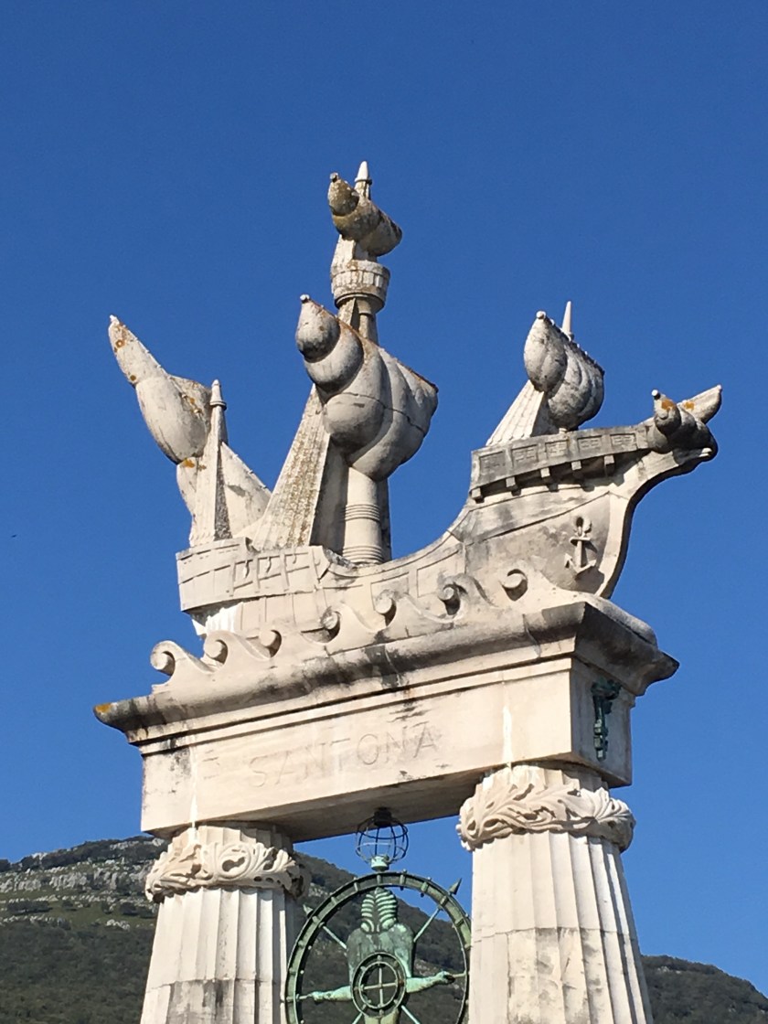
The monument is in honor of cartographer Juan de la Cosa, captain and owner of Santa Maria. He first hand witnessed the voyage of Columbus and created the first map of America.
1st toward Santoña
2nd toward Santoña
3rd Santoña


While I also prefer the GPS on my phone, there is nothing like an “old school” paper map when signals can’t be found or batteries suddenly die.
P.S. You well-curated pictures make me wonder with Juan de la Cosa would have thought of our modern mapping technologies!
LikeLike
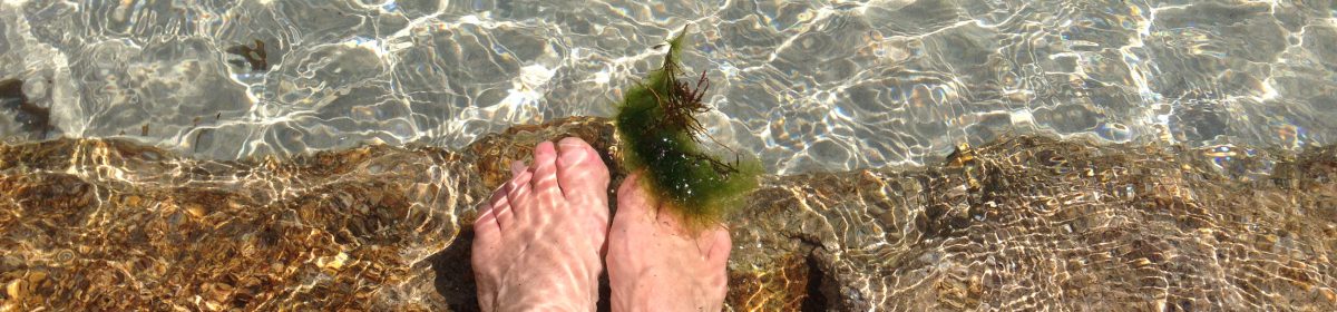
GPS routed me right on the beach. Preoccupied with taking pictures, a wave rolled right over and into my boots. Maybe I would have been more attentive had I been walking pre-camera/GPS technology. ~linda
LikeLike