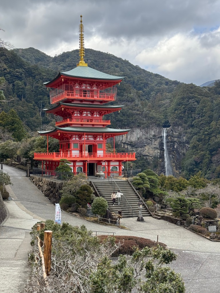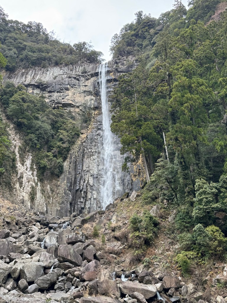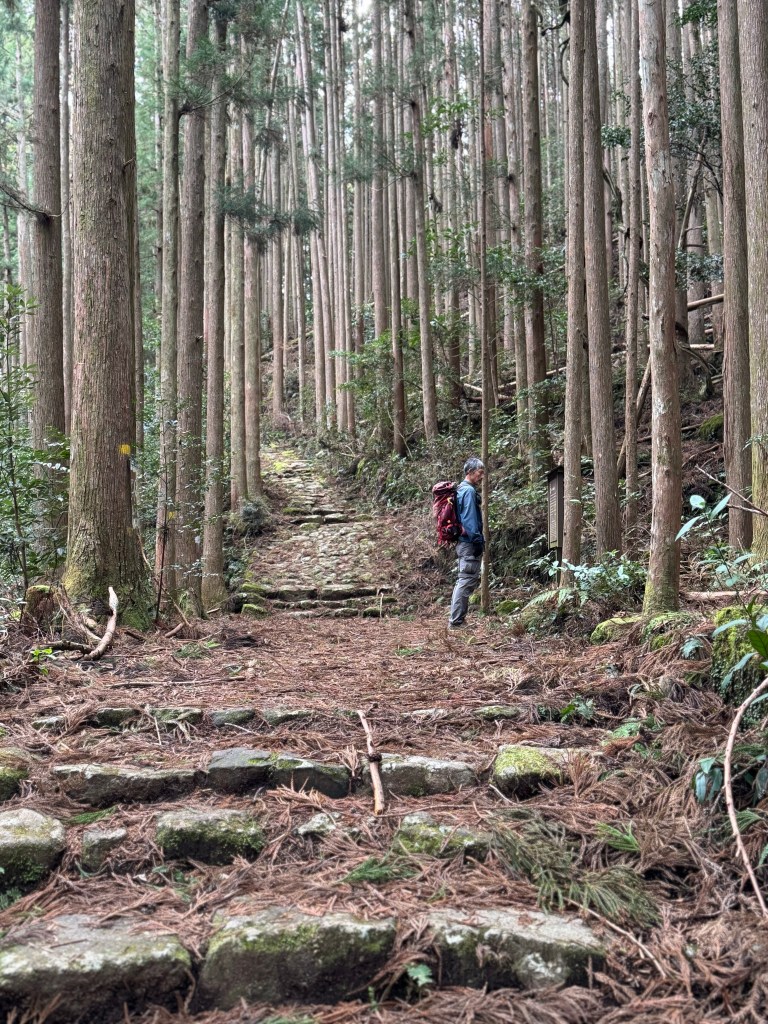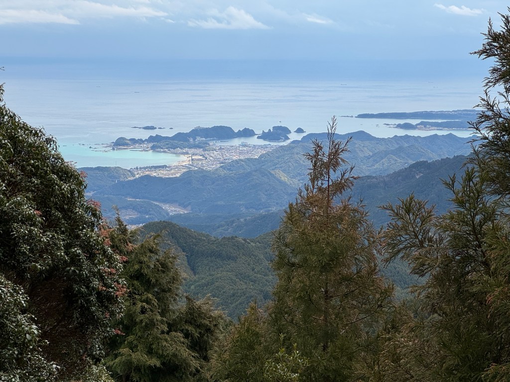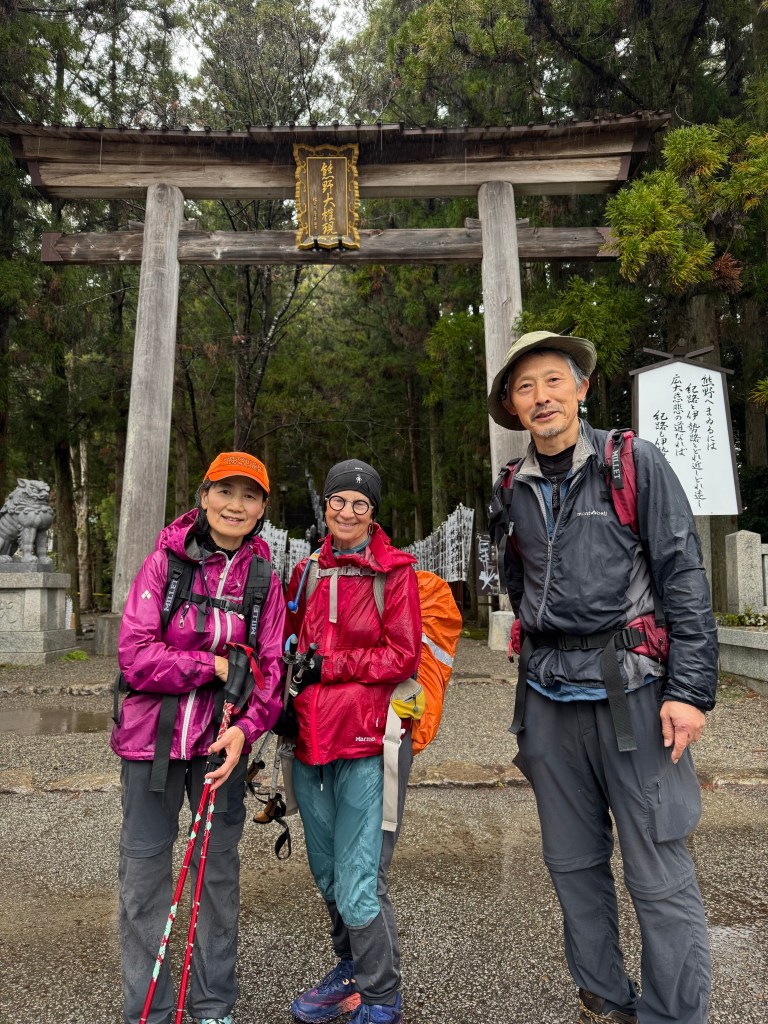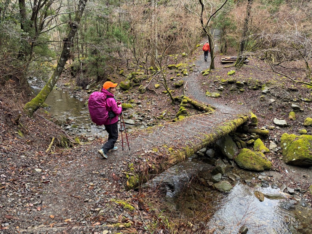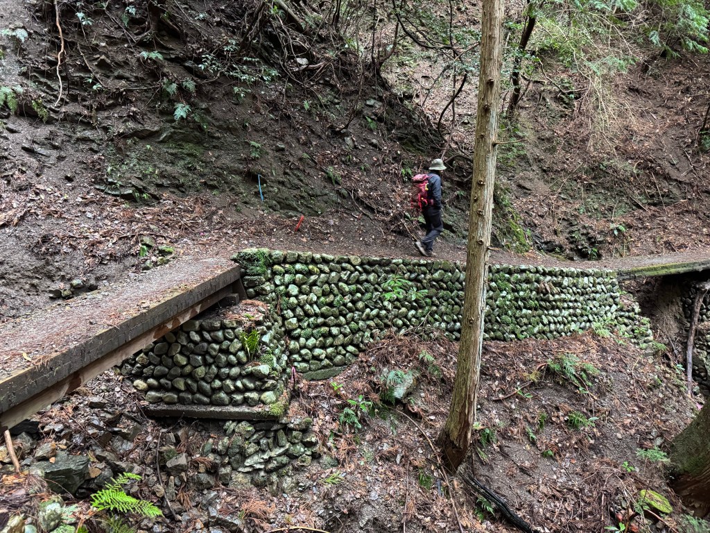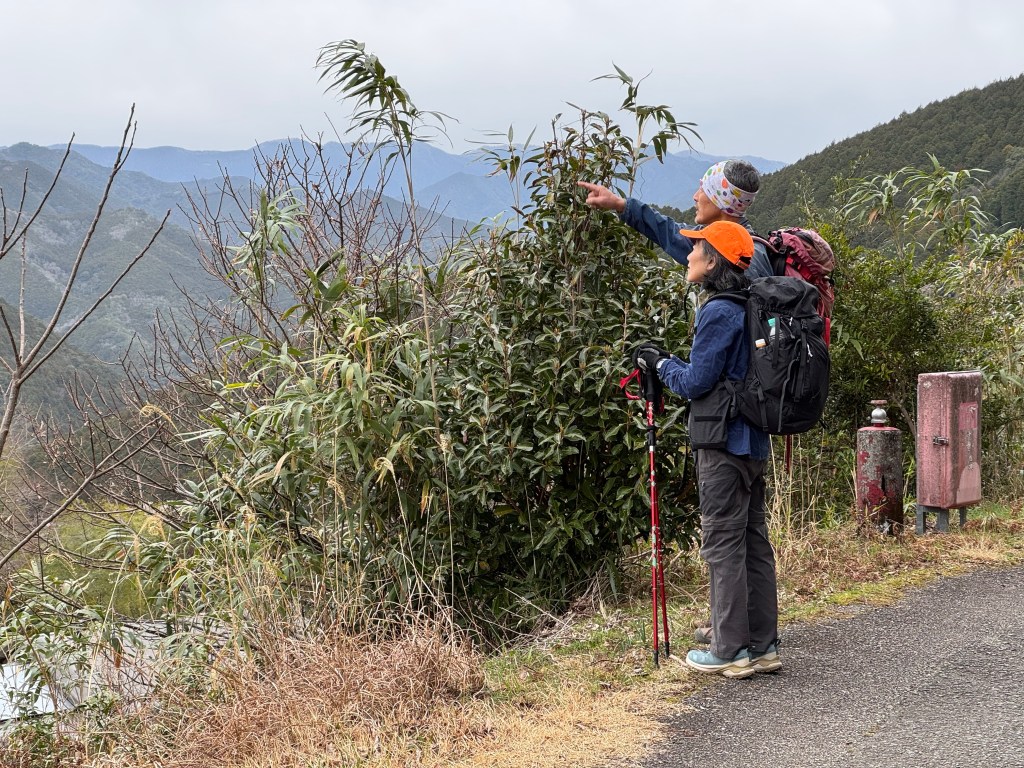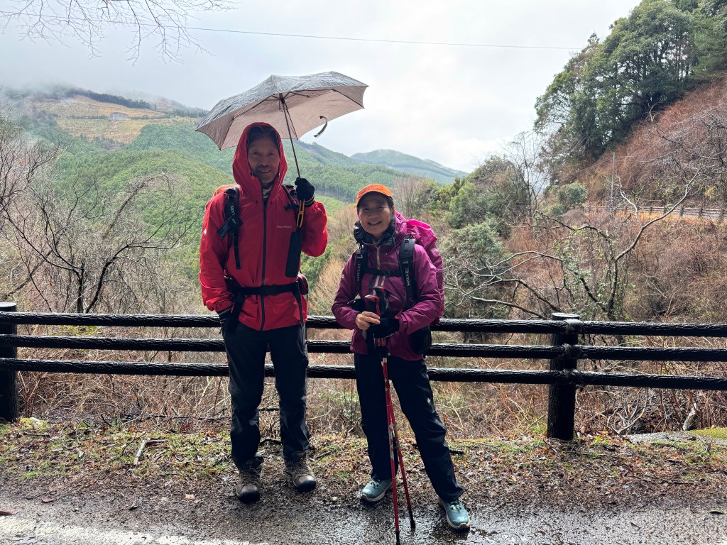
- Kumano Kodo: Day 4 / Koguchi to Nachi-taisha Shrine
- Distance: 8.2 mi Total mileage: 43.2 miles
- Ascent: 3,670’ / Descent: 3,532’
- Time: 8h 40m (moving 7h)
- Weather: 35-53° / frost alert, partly sunny & winds 7-10mph
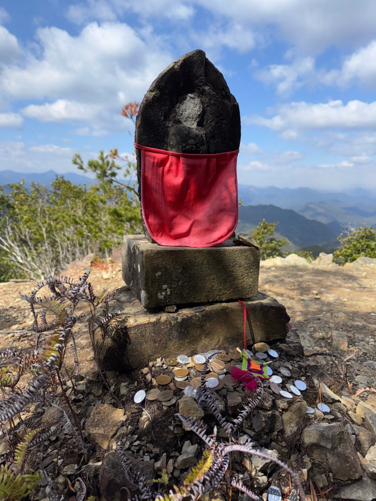
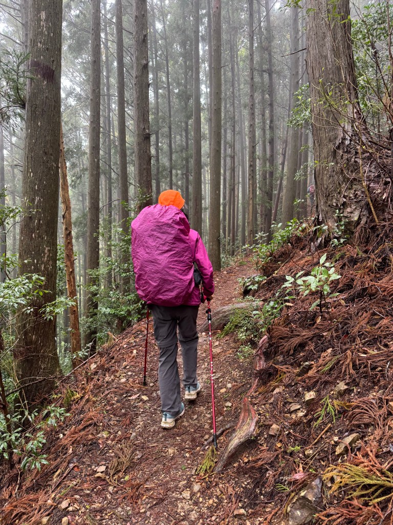
It has been said as pilgrims descend from Funami-toge Pass, they may see a figure coming towards them. As the figure approaches the pilgrim recognizes it as a deceased friend or relative. When the pilgrim begins to speak, the figure vanishes. Namiyo hopes she will meet her father.