• Saturday, May 19, 2018, Day #9
• Santoña
• Distance 18 miles; total 129 miles
• 1,044’ ascent and 1,046’ descent
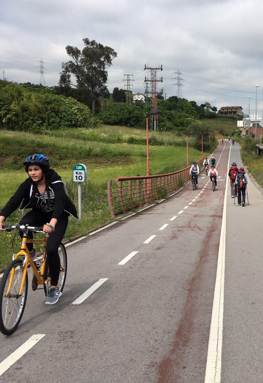
• 100% hard surface
• Time: 5 1/2 hours
• Weather: 55-60 degrees; overcast becoming sunny
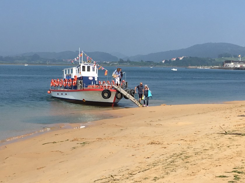
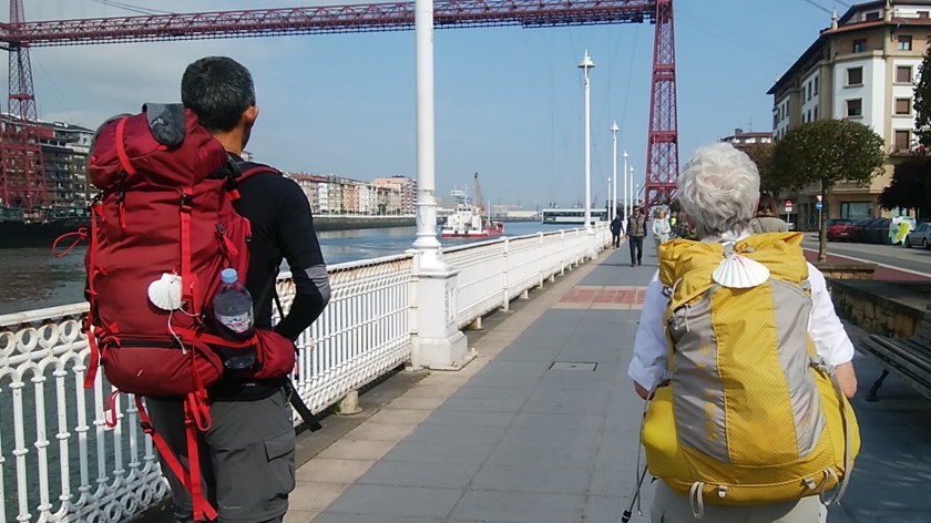
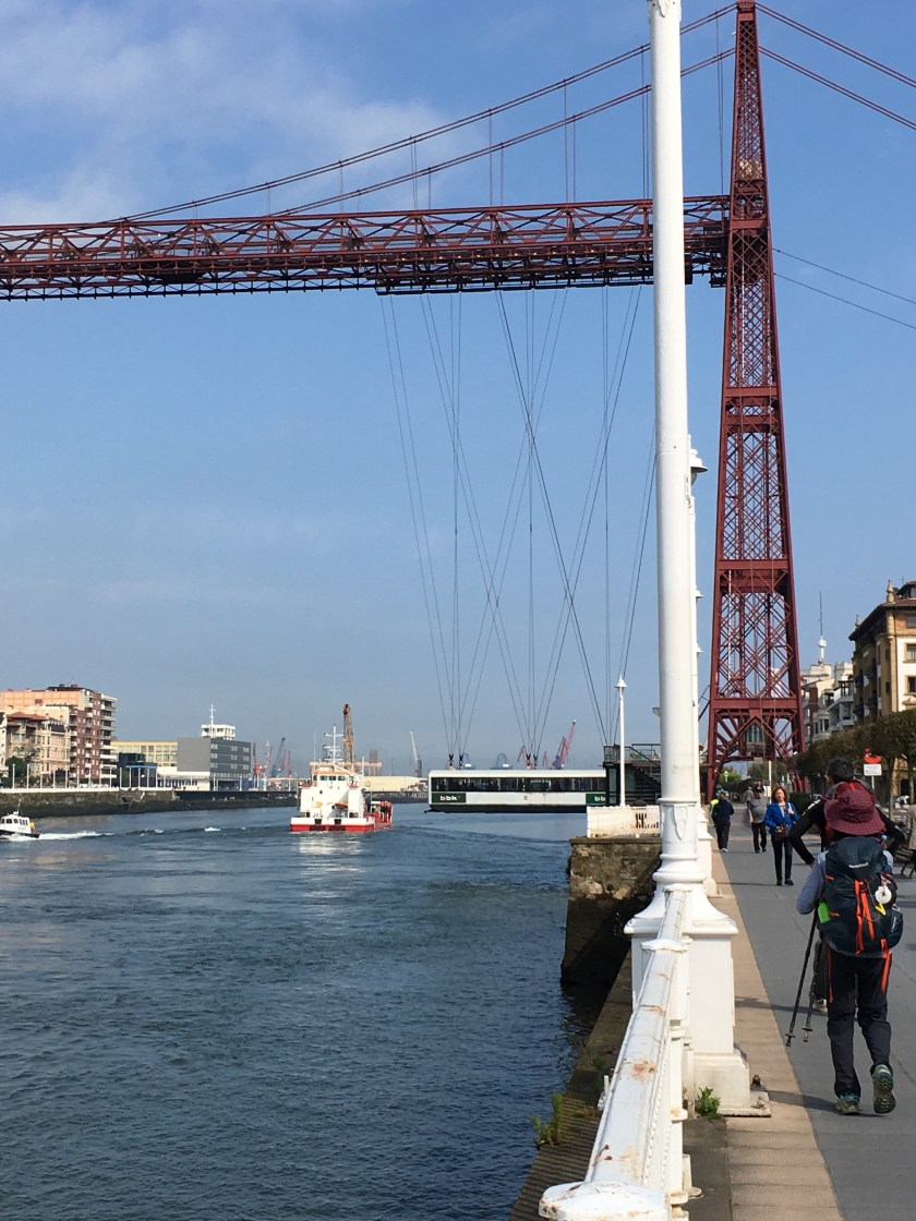
Torn out maps and guide book pages are still kept in a zip- lock baggie in my pocket. I’m more apt to resort to GPS tracking for the Camino Norte. That’s me, the blue dot outlined in white. I’m heading to my hostel, a white “P” in an orange circle. Water crossing by ferry.
There are many variants and choosing the shorter route trumps even if it is on a road. After all, this is a 500-mile walk.
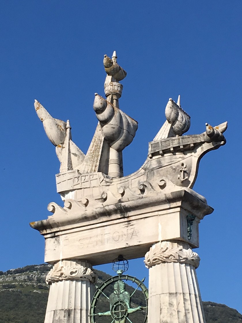
The monument is in honor of cartographer Juan de la Cosa, captain and owner of Santa Maria. He first hand witnessed the voyage of Columbus and created the first map of America.
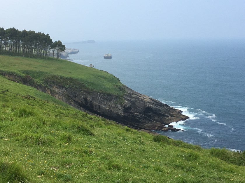
1st toward Santoña
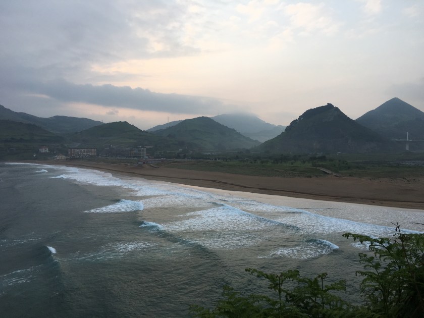
2nd toward Santoña
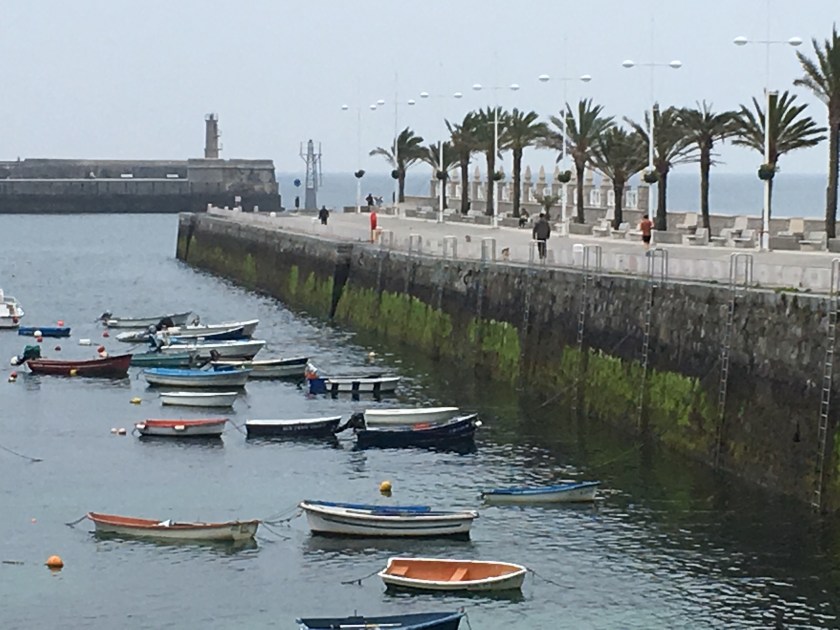
3rd Santoña