Santander ~ May 21, 2018

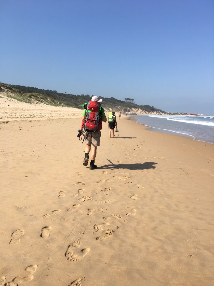
• Monday, May 21, 2018, Day #11

• Santander

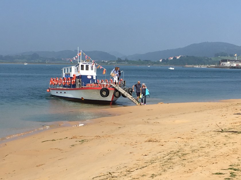
• Distance 13.5 miles; total 155 miles (including ferry ride)

• 611’ ascent and 856’ descent

• 20% hard surface

• Time: 5 1/2 hours

• Weather: 55-65 sunny

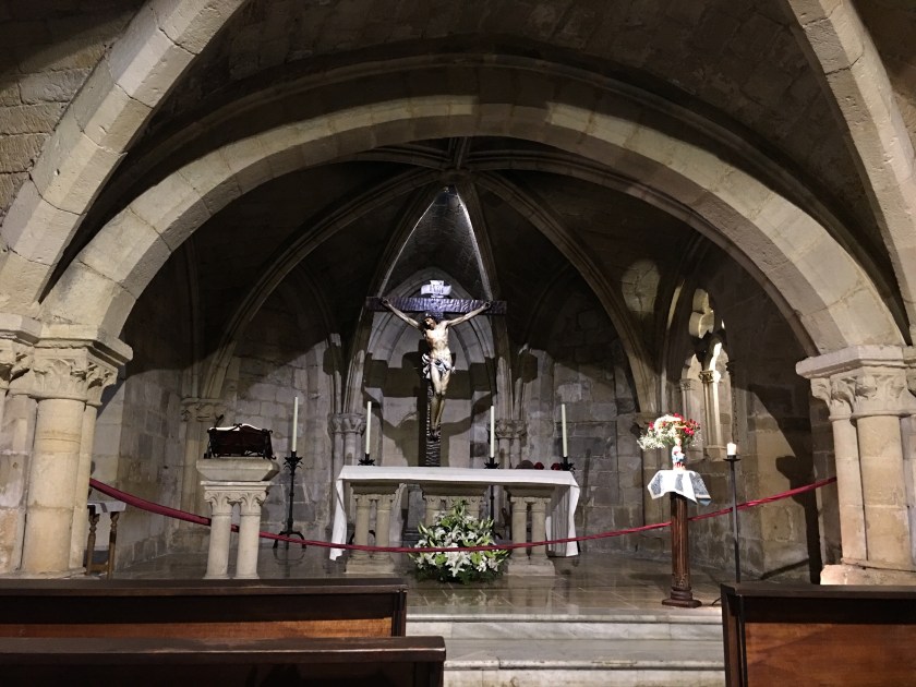
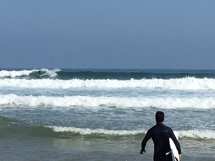
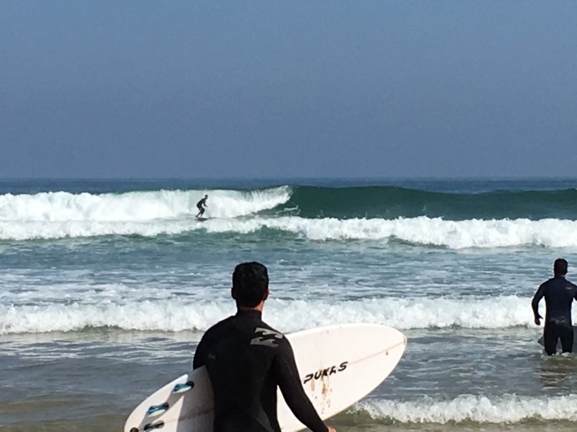
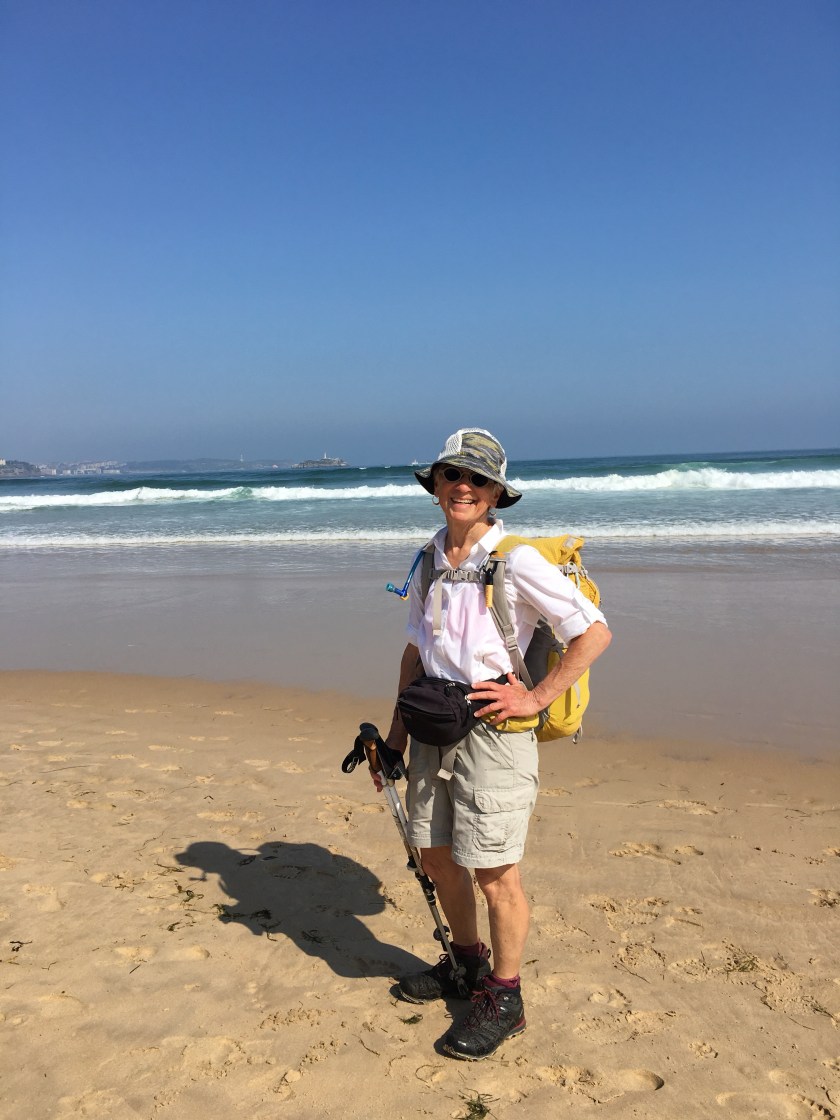
Santander is described as the most lovely and third largest city the Camino Norte passes. As a wave washed over my boots, it the perfect time to dry boots and find the largest ice cream cone…hazelnut and coffee…and a manicure!

1st Santander

2nd Santander

3rd Santander

Earth’s Smell ~ May 20, 2018

• Sunday, May 20, 2018, Day #10

• Güemes

• Distance 12 1/2 miles; total 141.5 miles

• 936’ ascent and 734’ descent

• 100% hard surface

• Time: 5 3/4 hours

• Weather: 55-60 sunny

Farm smells of cow manure and freshly cut grass. I don’t find myself turning up my nose. It is a different smell, natural. It smells of warm earth. Dairies dominate the area.

1st toward Güemes

2nd toward Güemes

3rd toward Güemes

The People ~ May 19, 2018

• Saturday, May 19, 2018, Day #9

• Santoña

• Distance 18 miles; total 129 miles

• 1,044’ ascent and 1,046’ descent

• 100% hard surface

• Time: 5 1/2 hours

• Weather: 55-60 degrees; overcast becoming sunny

Perfect timing. Celebration in the plazas.

There is a pervasive gentleness about the people. I haven’t see adults in discourse, parents raising voice to children, or children having a melt-down.

I have not seen poverty nor have I seen what appears as mass unemployed persons.

1st Santoña

2nd Santoña

3rd Santoña / Saburo and me by hostel.

Point “A” to Point “B” ~ May 19, 2018

• Saturday, May 19, 2018, Day #9

• Santoña

• Distance 18 miles; total 129 miles

• 1,044’ ascent and 1,046’ descent

• 100% hard surface

• Time: 5 1/2 hours

• Weather: 55-60 degrees; overcast becoming sunny

Torn out maps and guide book pages are still kept in a zip- lock baggie in my pocket. I’m more apt to resort to GPS tracking for the Camino Norte. That’s me, the blue dot outlined in white. I’m heading to my hostel, a white “P” in an orange circle. Water crossing by ferry.

There are many variants and choosing the shorter route trumps even if it is on a road. After all, this is a 500-mile walk.

The monument is in honor of cartographer Juan de la Cosa, captain and owner of Santa Maria. He first hand witnessed the voyage of Columbus and created the first map of America.

1st toward Santoña

2nd toward Santoña

3rd Santoña

Bout Time ~ May 19, 2018

• Saturday, May 19, 2018, Day #9

• Santoña

• Distance 18 miles; total 129 miles

• 1,044’ ascent and 1,046’ descent

• 100% hard surface

• Time: 5 1/2 hours

• Weather: 55-60 degrees; overcast becoming sunny

Bout time I touched the eastern shore of the Atlanta Ocean. I’ve been admiring it for nine-days.

1st Laredo

2nd Laredo

3rd Laredo-Santoña Ferry

Like Walking on Water ~ May 19, 2018

• Saturday, May 19, 2018, Day #9

• Santoña

• Distance 18 miles; total 129 miles

• 1,044’ ascent and 1,046’ descent

• 100% hard surface

• Time: 5 1/2 hours

• Weather: 55-60 degrees; overcast becoming sunny

View of Santoña’s beach. An hour’s walk along the Santoña’s beach to the Santoña ferry.

Namibia and Saburo have become my walking companions since Bilbao.

1st Santoña

2nd Laredo-Santoña Ferry / Namibia & Saburo

3rd Namibia & Saburo