- September 20, 2015
- Day 13
- Cammino Day 2
- Premilcuore
- 12 miles
- Total accent 2,875 and decent 1,953
- 7 hours 45 minutes
- 55-65 degrees
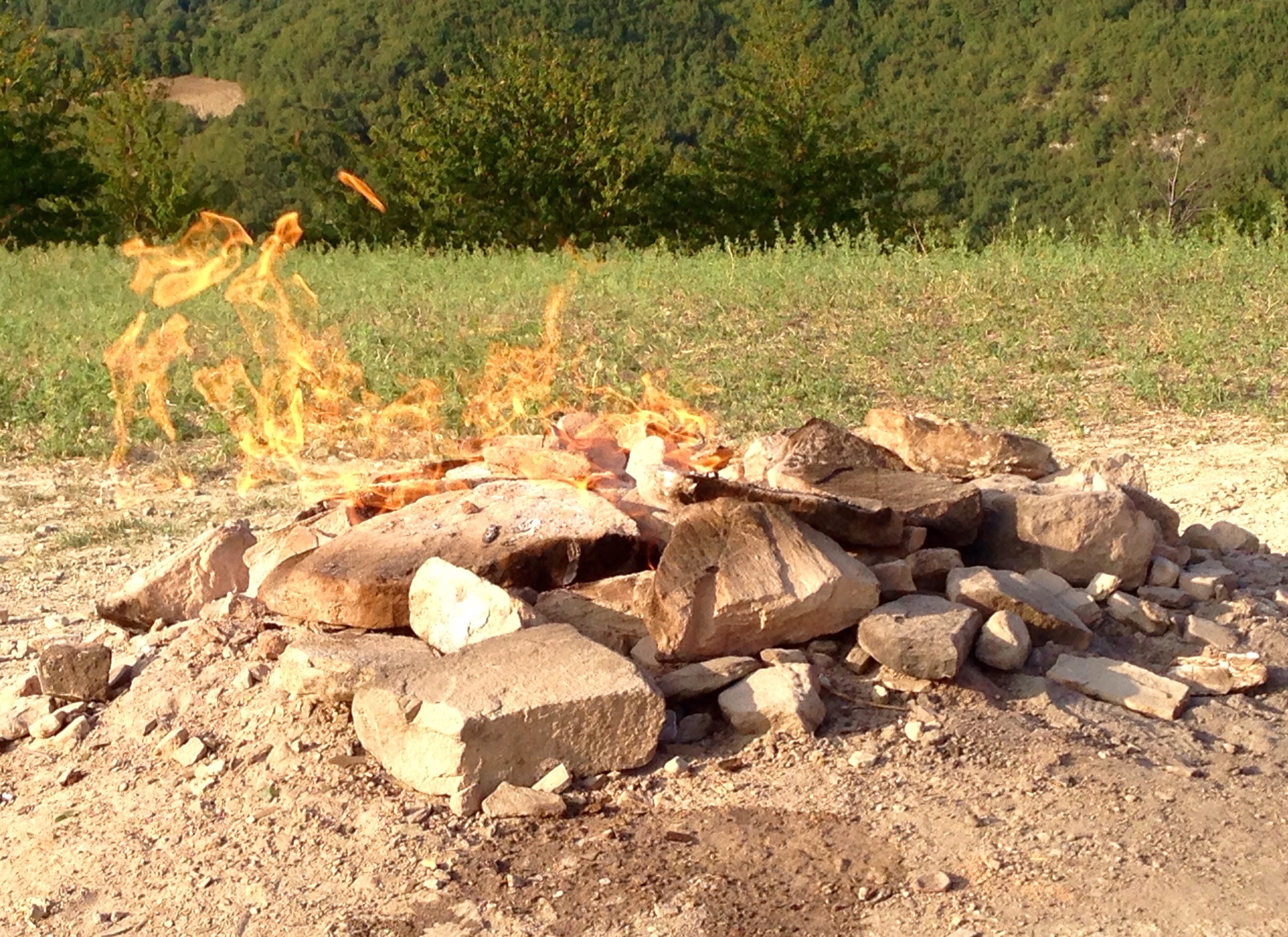
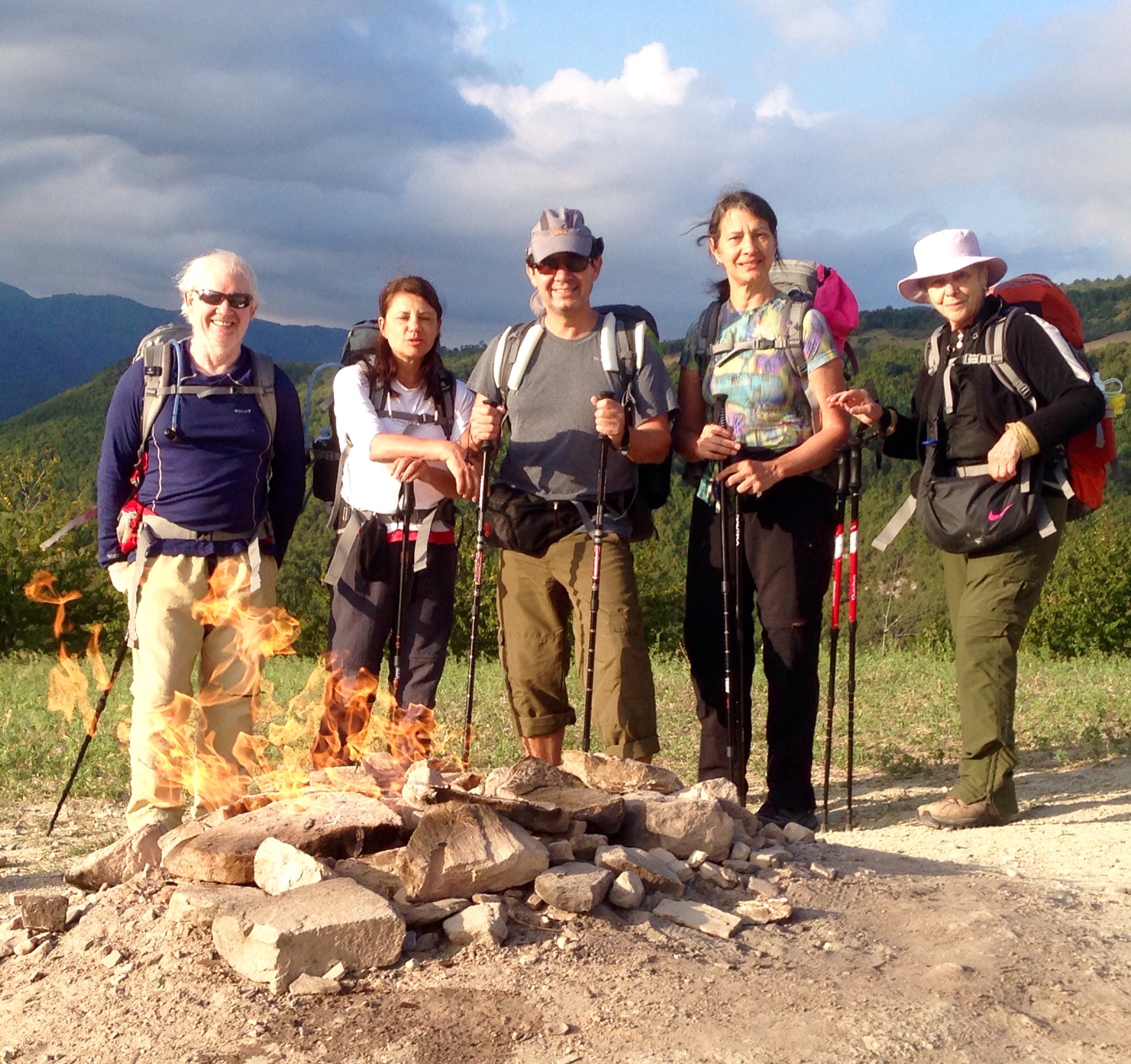
This is the smallest volcano in Italy. A particular and interesting spectacle but its secret is soon revealed: emissions of gaseous hydrocarbon which in contact with the oxygen from the air remain constantly alight, giving rise to phenomena called “burning fountains”.
Anyone for toasted ing marshmallow over the flame?
- 2st, 2nd, 3rd approaching Premilcuoe